Wye Catchment – Water Quality Citizen Science Project – Draft Maps
Data Sources
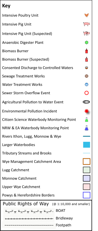
The Poultry Shed data, the Pig Shed data and the Biomass Plant data is in the public domain and has been obtained via Powys County Council (PCC) Planning Portal. The Anaerobic Digester (AD) data has been obtained partly from PCC Planning Portal and partly from www.r-e-a.net/resources/uk-anaerobic-digestion-sites-map/. Some of the positions of the ADs and Biomass Plant have been determined from the Post Code given in their Planning Applications as the actual location was not specified, hence these are approximate positions.
The Intensive Pig Units and the Biomass Burners that are overlaid with a question mark are believed by us to be operating Pig and Biomass units.
Please notify us of any errors or omissions.
Copyright
Both the maps on this page are:
© Brecon & Radnor Branch of Campaign for the Protection of Rural Wales 2021.
Contains OS data © Crown copyright and database right 2021.
Contains Dwr Cymru / Welsh Water and Natural Resources Wales information © Natural Resources Wales and Database Right. All rights Reserved.
Base map © OpenStreetMap Contributors.
Google Draft Map
The Google map is limited to a maximum of 10 layers of data only.
OpenLayers Draft Map
For a larger page size click here.
OpenLayers Draft Map: Legend
Draft PDF Map Version
A more formal draft PDF “version” of the above interactive map can be found here.